Capitol Reef National Park
is an American national park in south-central Utah. The park is approximately 60 miles (97 km) long on its north–south axis and just 6 miles (9.7 km) wide on average. The park was established in 1971 to preserve 241,904 acres (377.98 sq mi; 97,895.08 ha; 978.95 km2) of desert landscape and is open all year, with May through September being the highest visitation months.
Partially in Wayne County, Utah, the area was originally named “Wayne Wonderland” in the 1920s by local boosters Ephraim P. Pectol and Joseph S. Hickman. Capitol Reef National Park was designated a national monument on August 2, 1937, by President Franklin D. Roosevelt to protect the area’s colorful canyons, ridges, buttes, and monoliths; however, it was not until 1950 that the area officially opened to the public Road access was improved in 1962 with the construction of State Route 24 through the Fremont River Canyon.
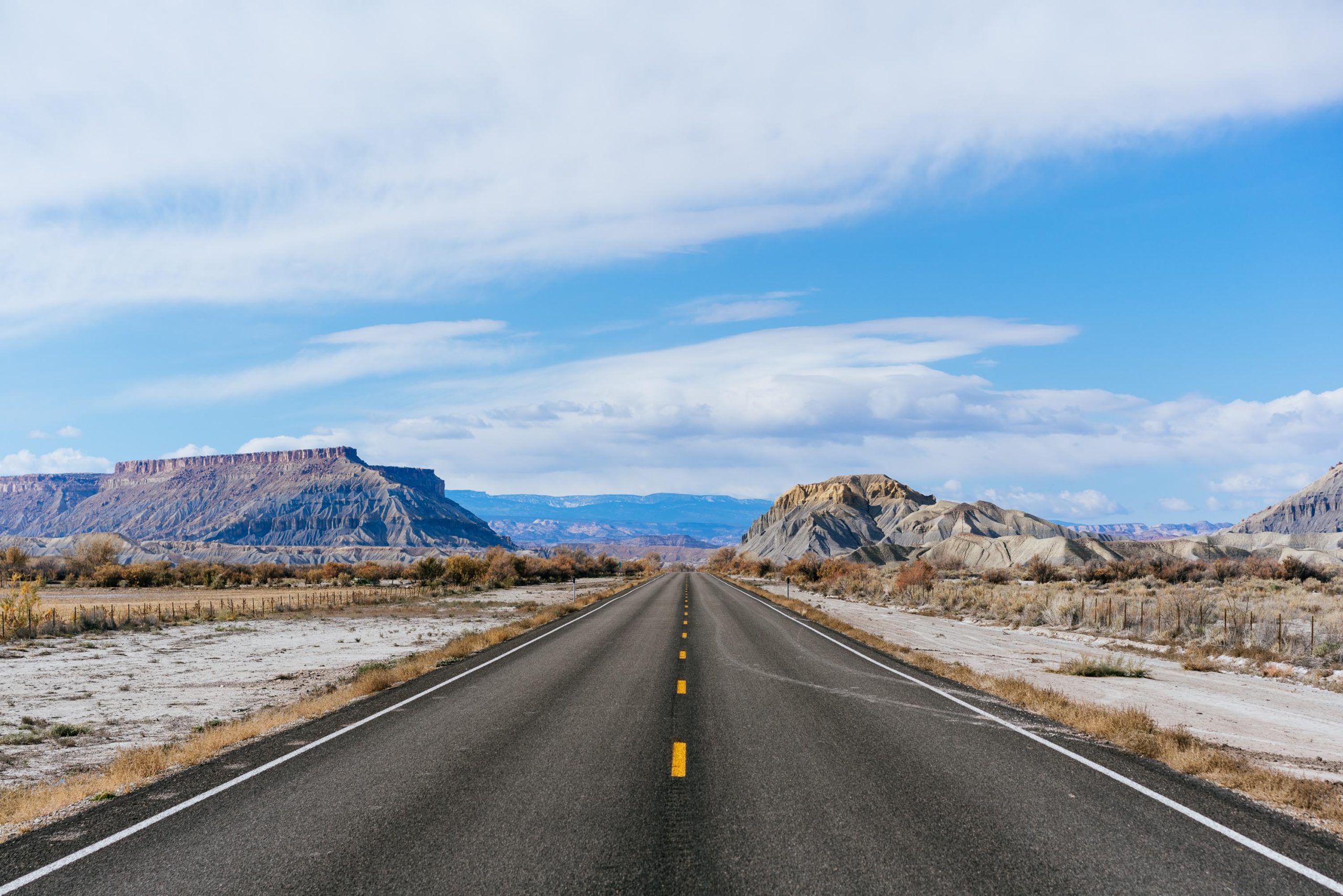
The majority of the nearly 100 mi (160 km) long up-thrust formation called the Waterpocket Fold—a rocky spine extending from Thousand Lake Mountain to Lake Powell—is preserved within the park. Capitol Reef is an especially rugged and spectacular segment of the Waterpocket Fold by the Fremont River. The park was named for its whitish Navajo Sandstone cliffs with dome formations—similar to the white domes often placed on capitol buildings—that run from the Fremont River to Pleasant Creek on the Waterpocket Fold. Locally, reef refers to any rocky barrier to land travel, just as ocean reefs are barriers to sea travel.

Chimney Rock, Capitol Reef, USA
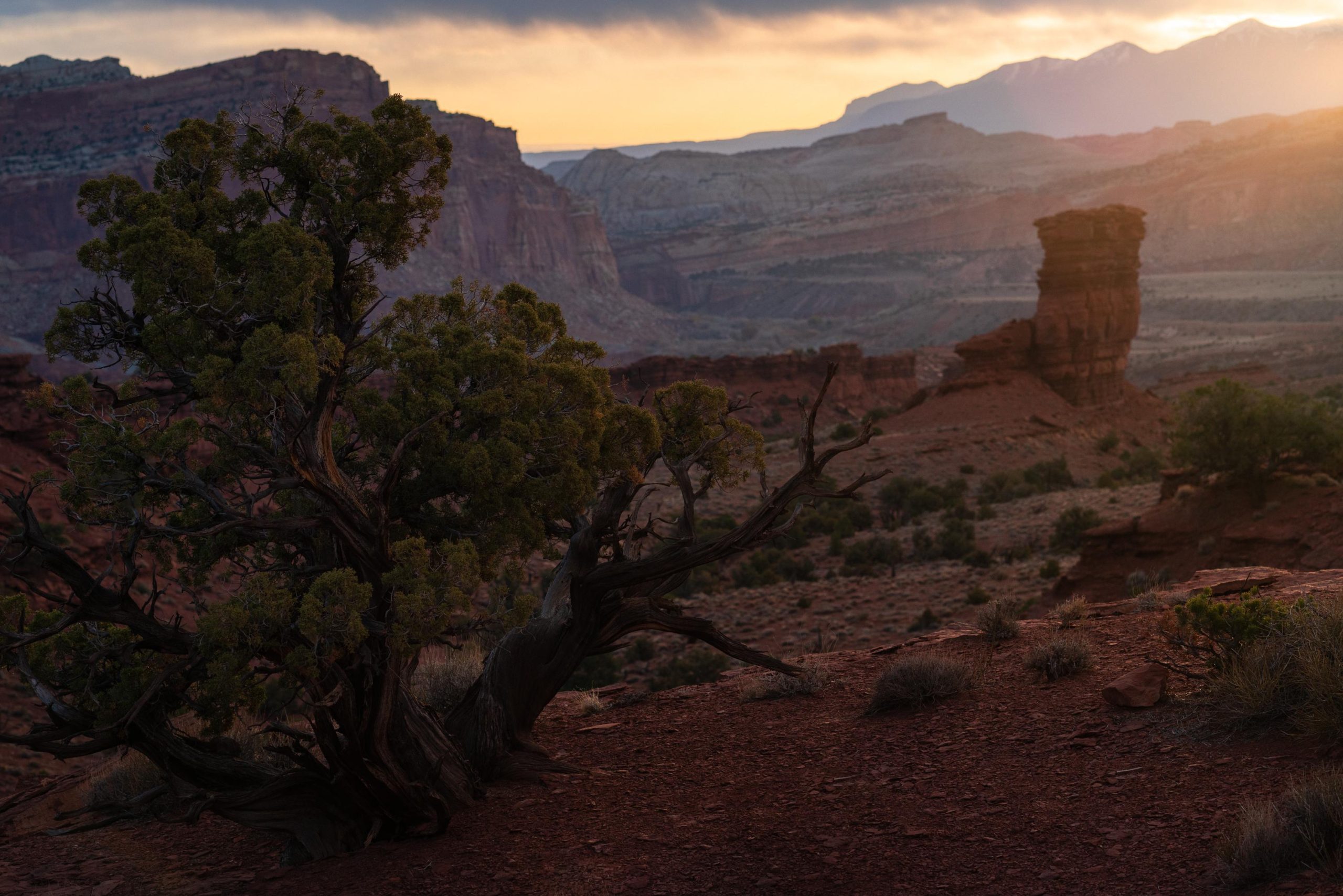
I was quite lazy in the Capitol Reef National Park to be honest, I just took the Highway through it and did a bit of driving on the the scenic road turn-off. This is (part of) Chimney Rock, visible from the highway just as you enter the park, easy to get to.
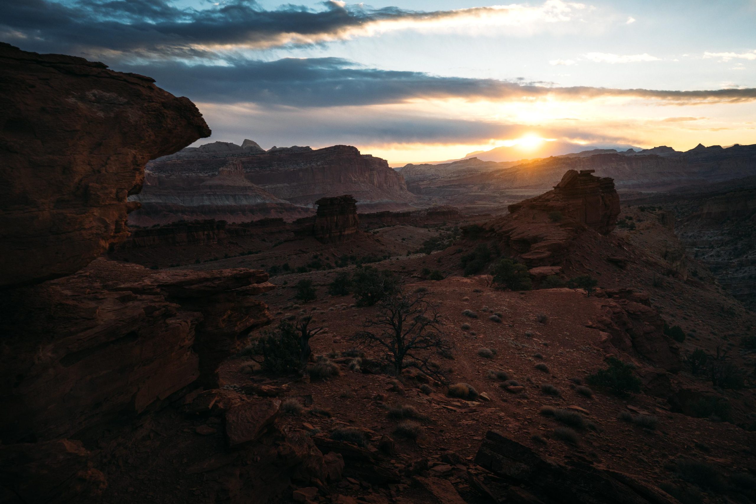
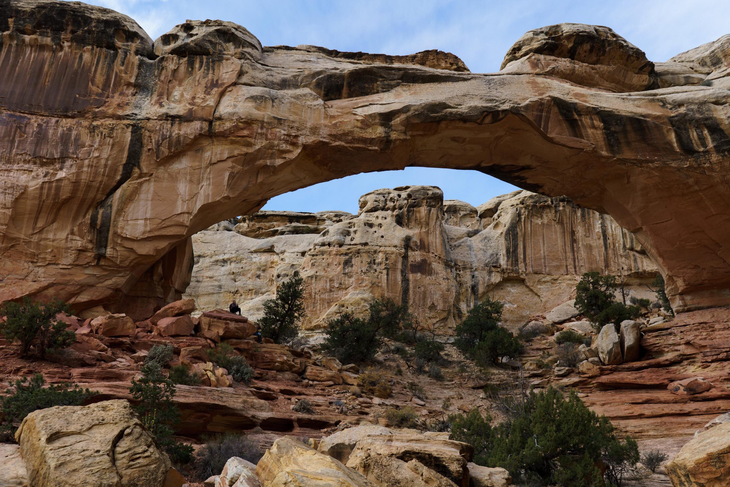
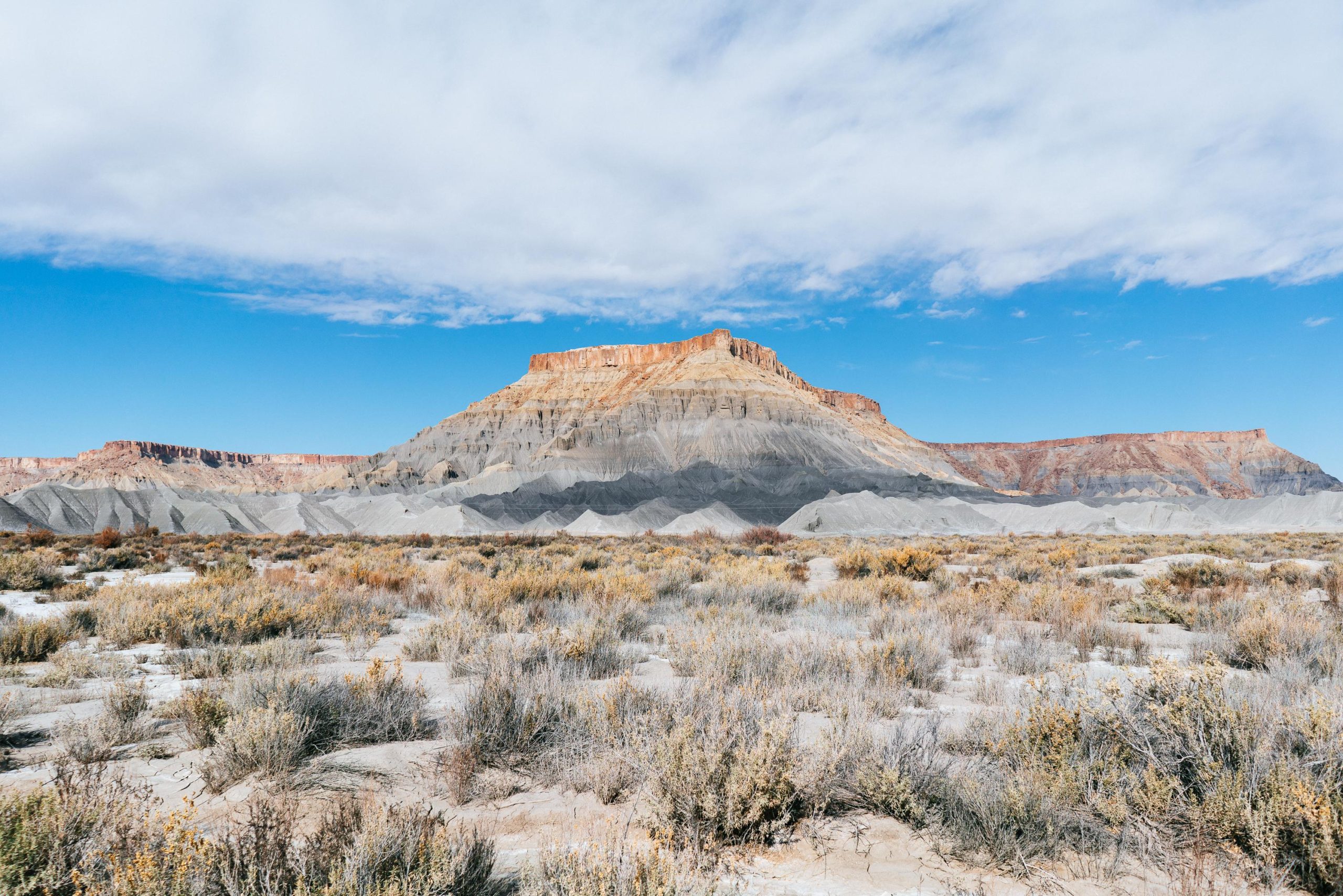
I just cruised through here and stayed for a day. I had one of the coldest sunrises of the whole trip, -10C that led to unbelievable finger pains. The park was quite diverse, it had arches, a winding river in a deep canyon, a little ancient village for show and lots of mesas.
I only stayed for one night, being completely surprised by the extreme cold as it wasn’t so bad in the daytime. There were no hotels around and it was too cold to sleep around there so I had to get out. No internet on the phone for the weather forecast didn’t help either. I started to use the elevation layer on google maps to figure out better sleeping spots after that night, 500m could make a big difference. As a general rule of thumb, anything under 1000m was great, 1000-1500m was still ok, it started to get critical from 1500-2000m and anything over 2000m was unbearable. Capitol reef was about 1750m above sea level.
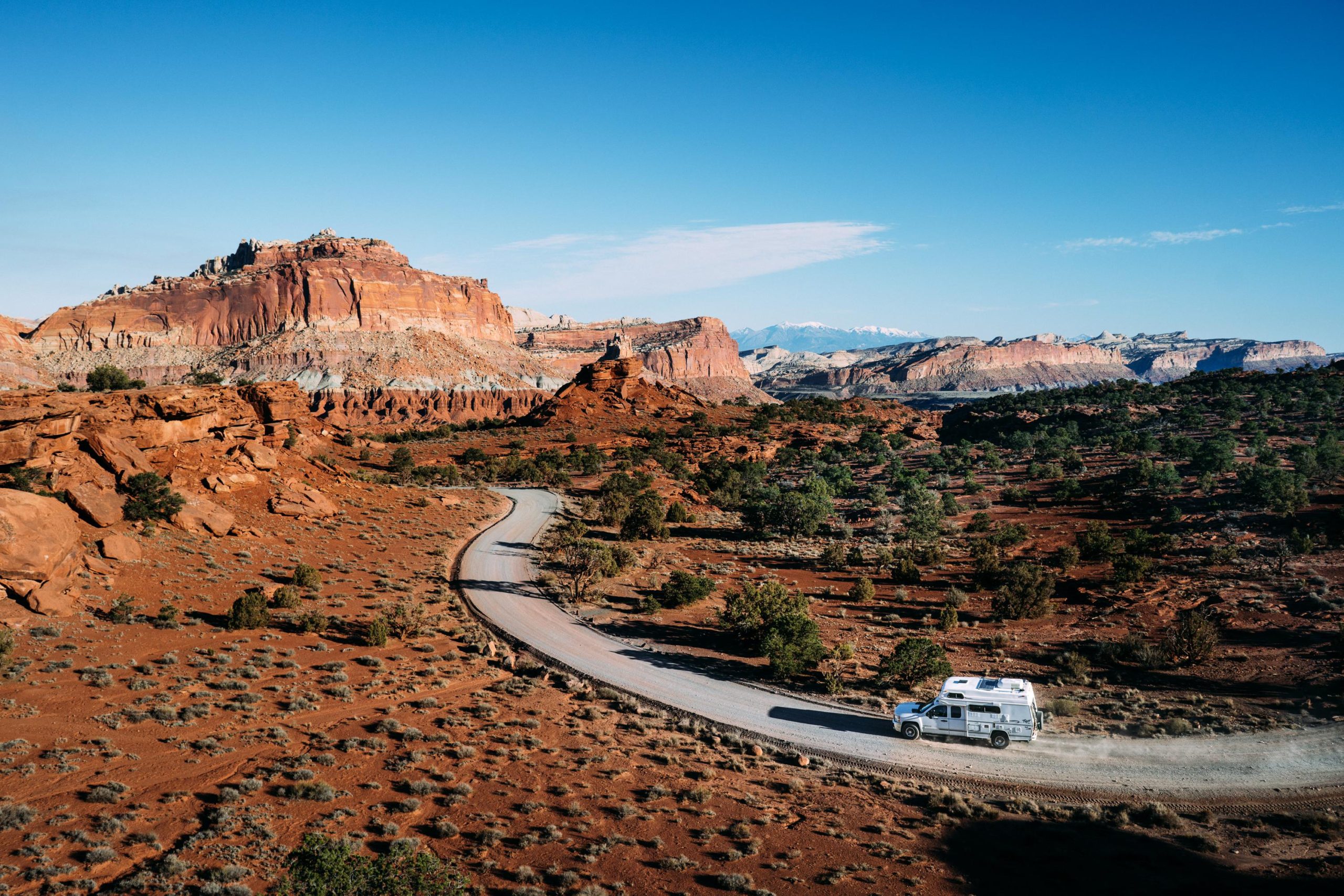
Campervan, Capitol Reef, USA
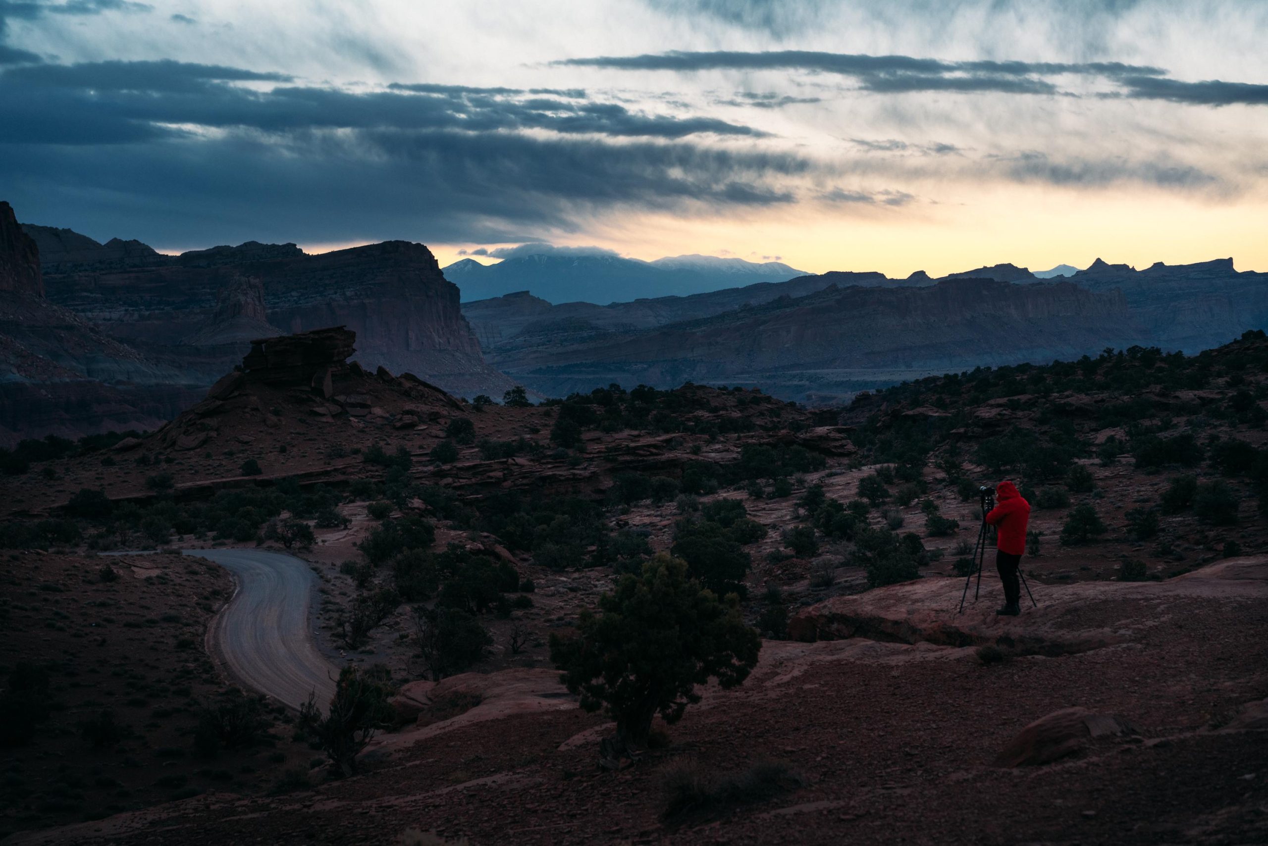
Love this photo, I wish I had a vehicle like this, the amount of additional comfort would’ve been incredible. It was pretty tough at times to hang out in the car, waiting for sunset in the drivers seat without internet, something like a kitchen or a table.
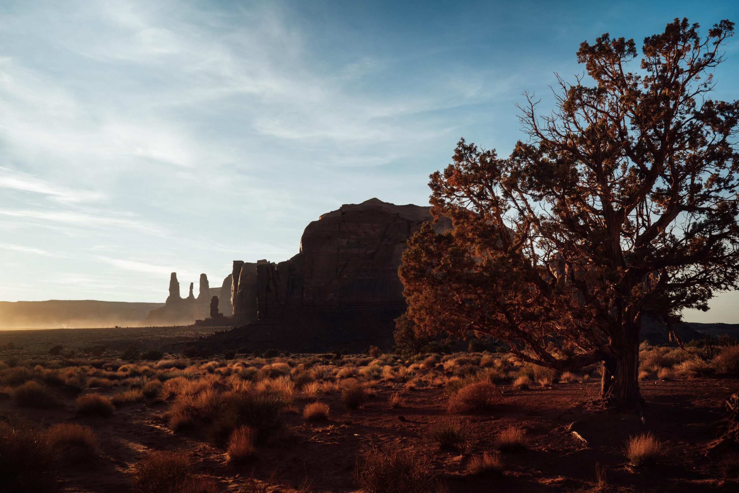
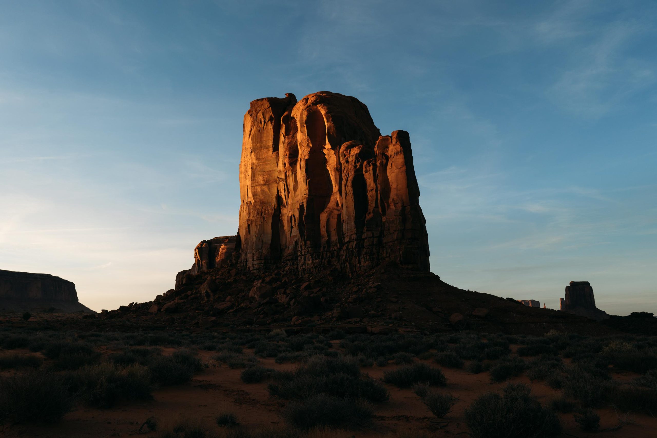
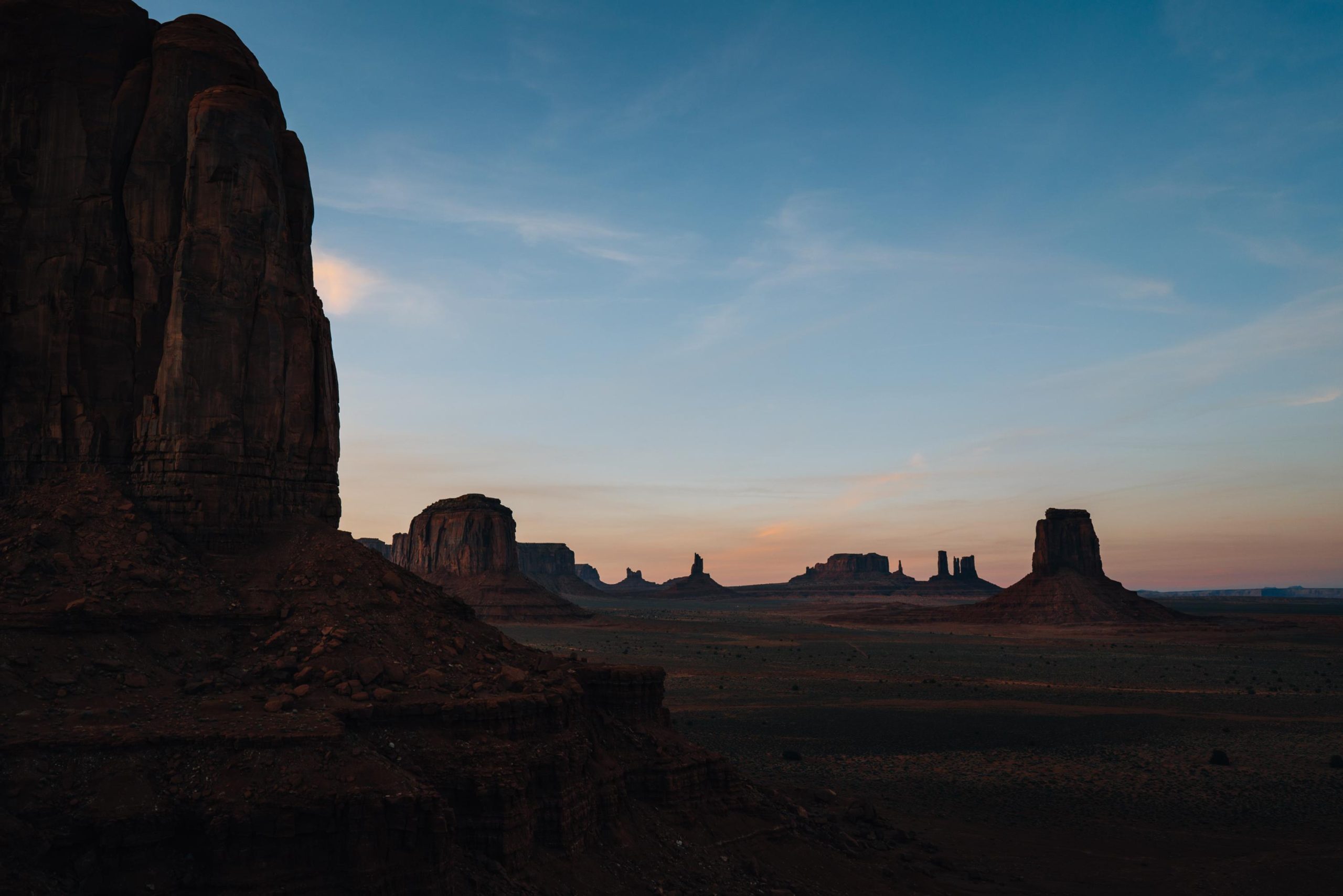
Monument Valley (Navajo: Tsé Biiʼ Ndzisgaii, pronounced [tsʰépìːʔ ǹtsɪ̀skɑ̀ìː], meaning valley of the rocks)
is a region of the Colorado Plateau characterized by a cluster of vast sandstone buttes, the largest reaching 1,000 ft (300 m) above the valley floor. It is located on the Arizona–Utah state line (around 36°59′N 110°6′W), near the Four Corners area. The valley lies within the territory of the Navajo Nation Reservation and is accessible from U.S. Highway 163.
Monument Valley has been featured in many forms of media since the 1930s. Director John Ford used the location for a number of his best-known films and thus, in the words of critic Keith Phipps, “its five square miles [13 square kilometres] have defined what decades of moviegoers think of when they imagine the American West.”
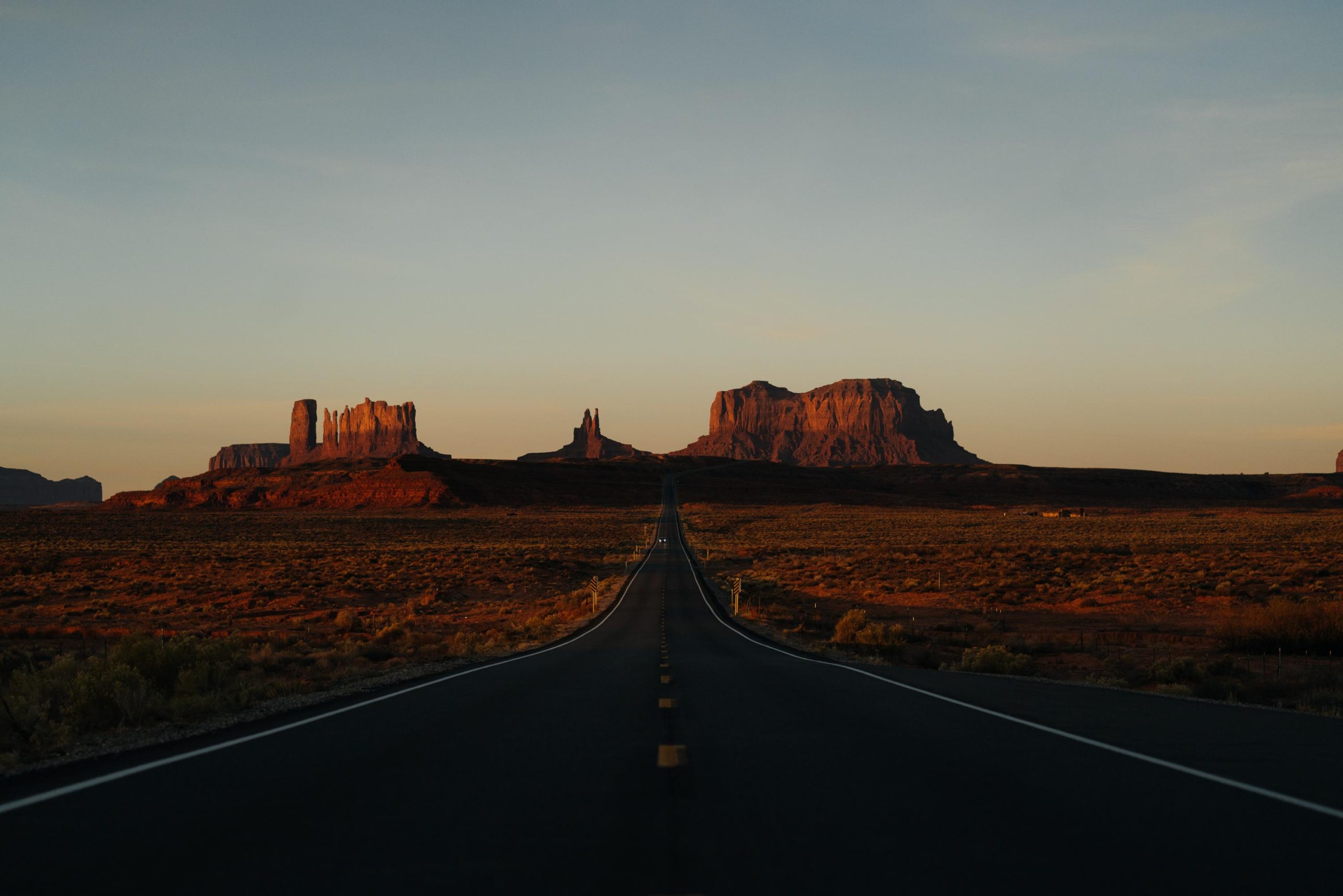
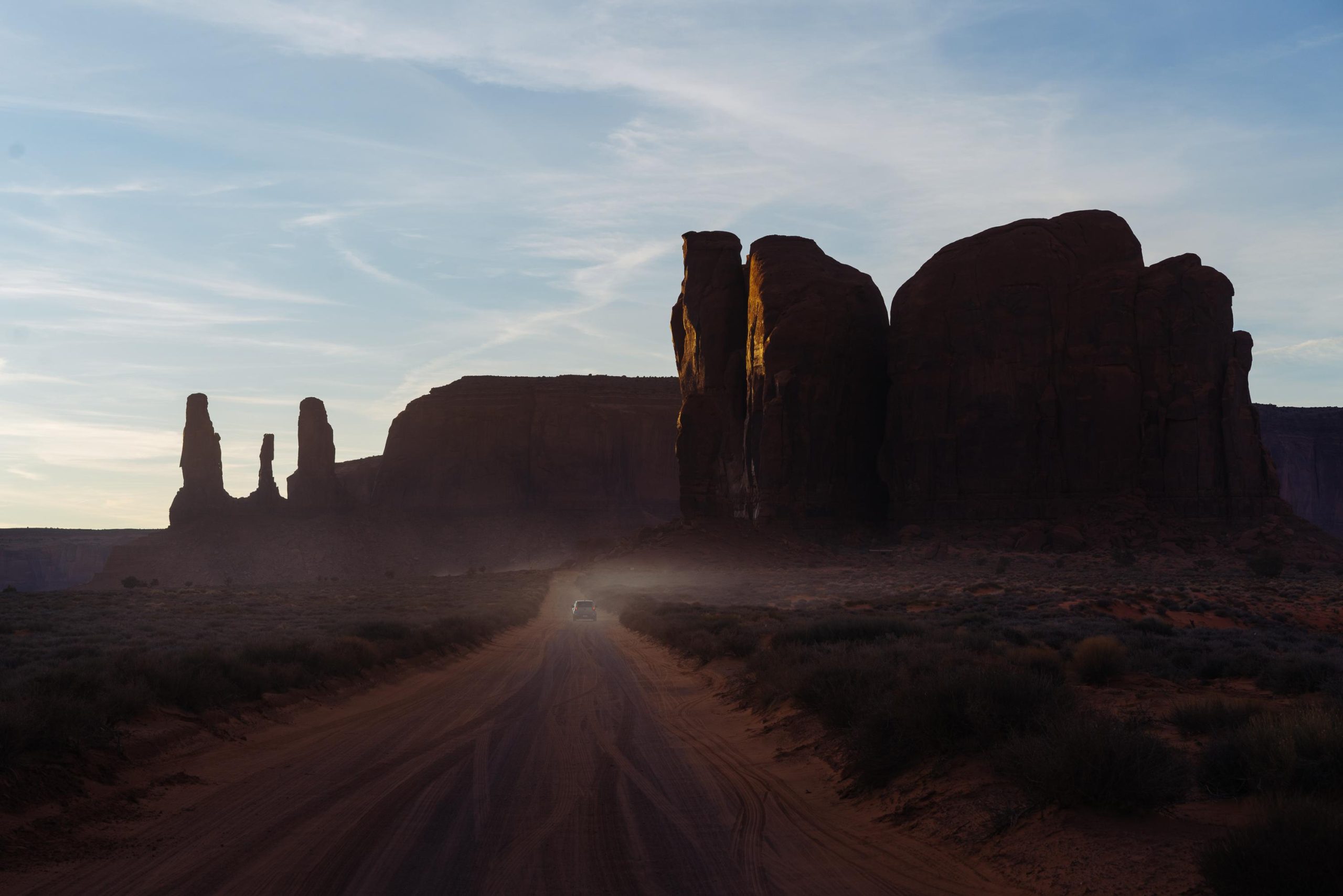
The classic shot, Monument Valley, USA
Slept at Mexican hat, the closest location to the valley that I could find on the Ioverlander app, just about 20km away. Left early and went for sunrise, just before air traffic contaminated the skies.
Even though technically not a national park, this was still a must stop on the list of top attractions in the United States, everybody knows the iconic Mesas and the road leading through it. It is located on the territory of the Navarro native Americans so they’re in charge of the operation, which basically meant paying extra, as my national park pass wasn’t valid.
I arrived a bit late in the day, so sunset was already on it’s way and I was rushing through the valley to get to the viewpoints. The road wasn’t nearly as well kept as the ones in the other National Parks, Eddies old vendors hated the rattly roads and the giant potholes didn’t let me drive fast at all. The skies turned out to be horrible, sprayed with the worst shit you could imagine, kind of ruining all the photos any-ways. Once I did the loop it was time to find a place to sleep and the Ioverlander app found something near a place called Mexican hat. I had decided it was time for another oil change, as I had already driven an additional 10.000km since I had done it once before in Dustin’s driveway. Due to my brake line fix I was too scared to let someone else do it, they might have discovered it and not let me keep on driving, so it was up to me. I bought some sort of sink and once I had found a place away from everything with no traffic passing by I decided to do it. Clearly highly illegal to do that kind of stuff just outside the natural reserve, I was a bit nervous and wanted to get it over with as quickly as possible. Even though I knew that once I loosen the bolt of the tank it’ll just flow out I kind of fucked it up and spilled a bit over myself and the ground. Not too much though but enough for it being not cool. I moved away from under the car while it was flowing out, so that if anyone that passed by I wouldn’t have noticed right away. I had to sacrifice a couple of my underwear and a t-shirt to clean the ground and myself as good as I could. Once the old oil was all out, I put the bolt back, filled in the new stuff and filled the oil out of the sink into the bottle. So happy it was all done and Eddie had some fresh blood to run at least another 10.000km. I was in panic mode there for a second.
I didn’t want to pay for the monument valley loop again, so I just hung around the road that leads through it for sunrise, the iconic road shot that everyone knows. I went to Goosenecks state park that day, a river that carved a deep canyon into the landscape, forming things you could refer to as Goosenecks. To sleep I drove in a bit into The Valley of the Gods, which turned out to be as epic as the name suggests. As my charging possibility for the drone in the car broke, I still had two batteries of the drone left and used them to make another video of me driving and flying the drone at the same time. Auto track worked a bit better here as everything was red and the car was white, unlike on the great salt lake, where everything was white. It wouldn’t have worked without the auto track, as I actually had to steer the car on a narrow road.